
Krousonas - Heraklion Prefecture (Greece)
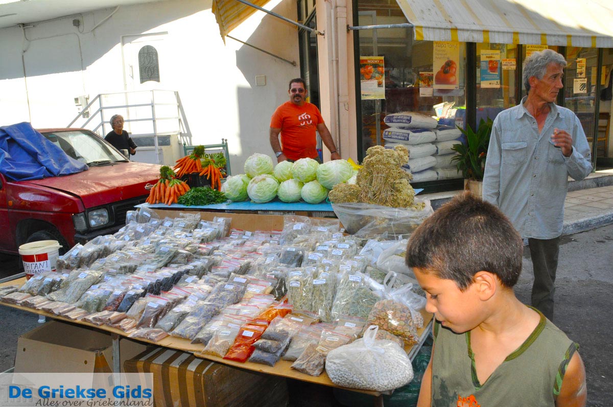
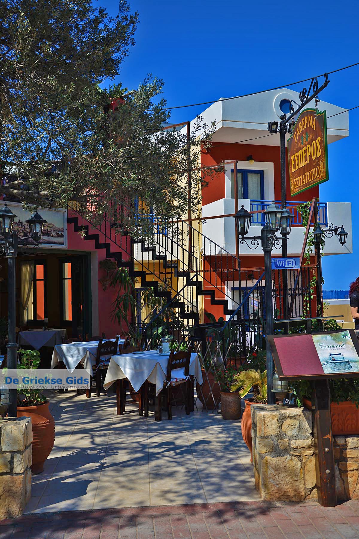
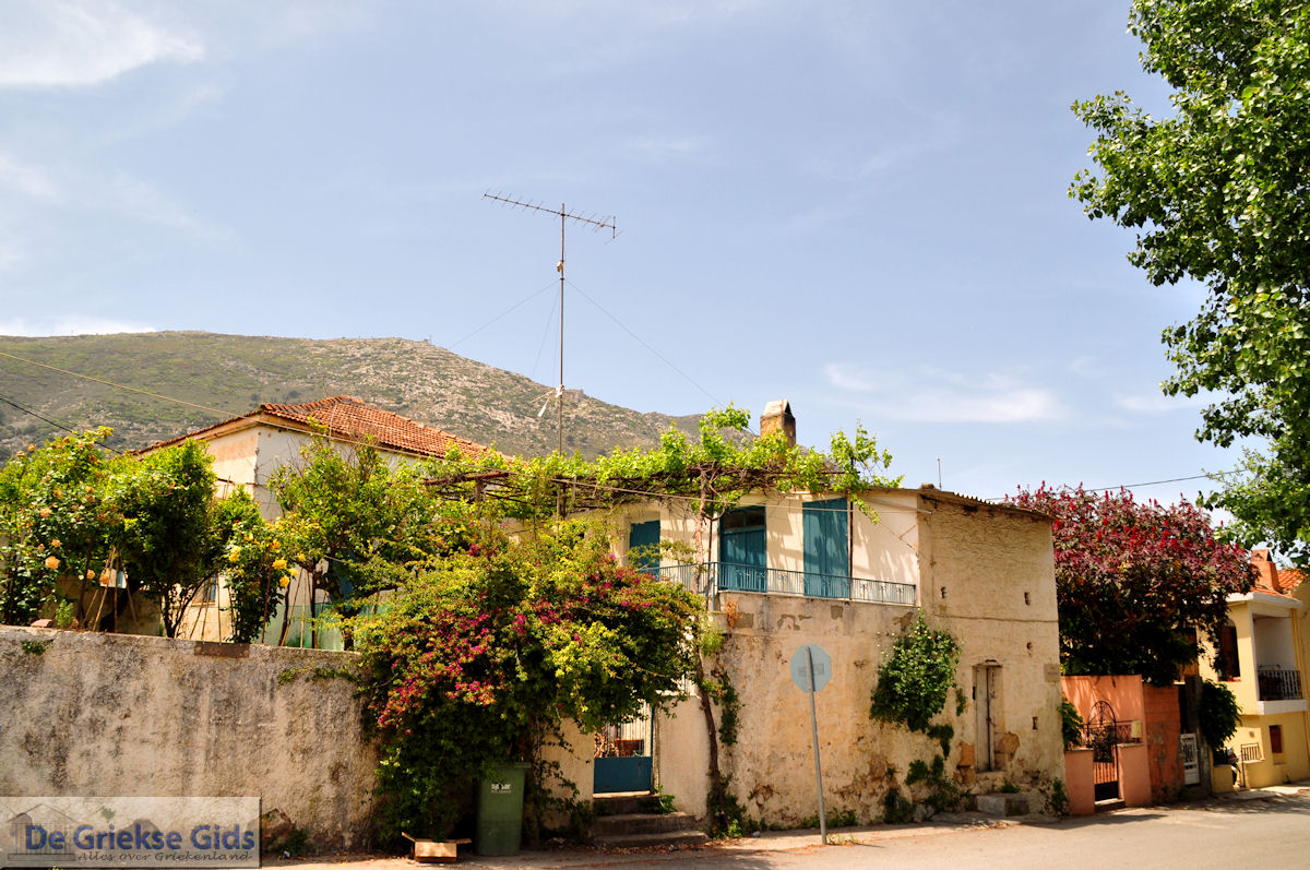
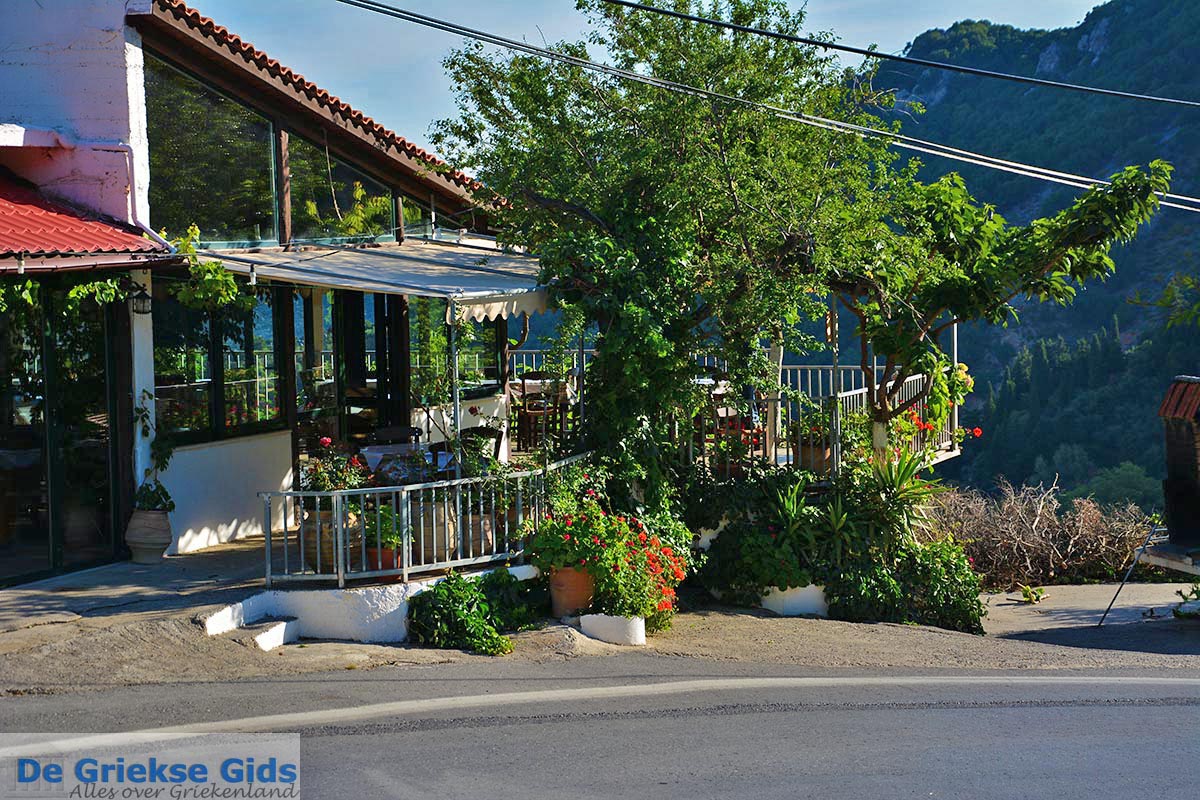
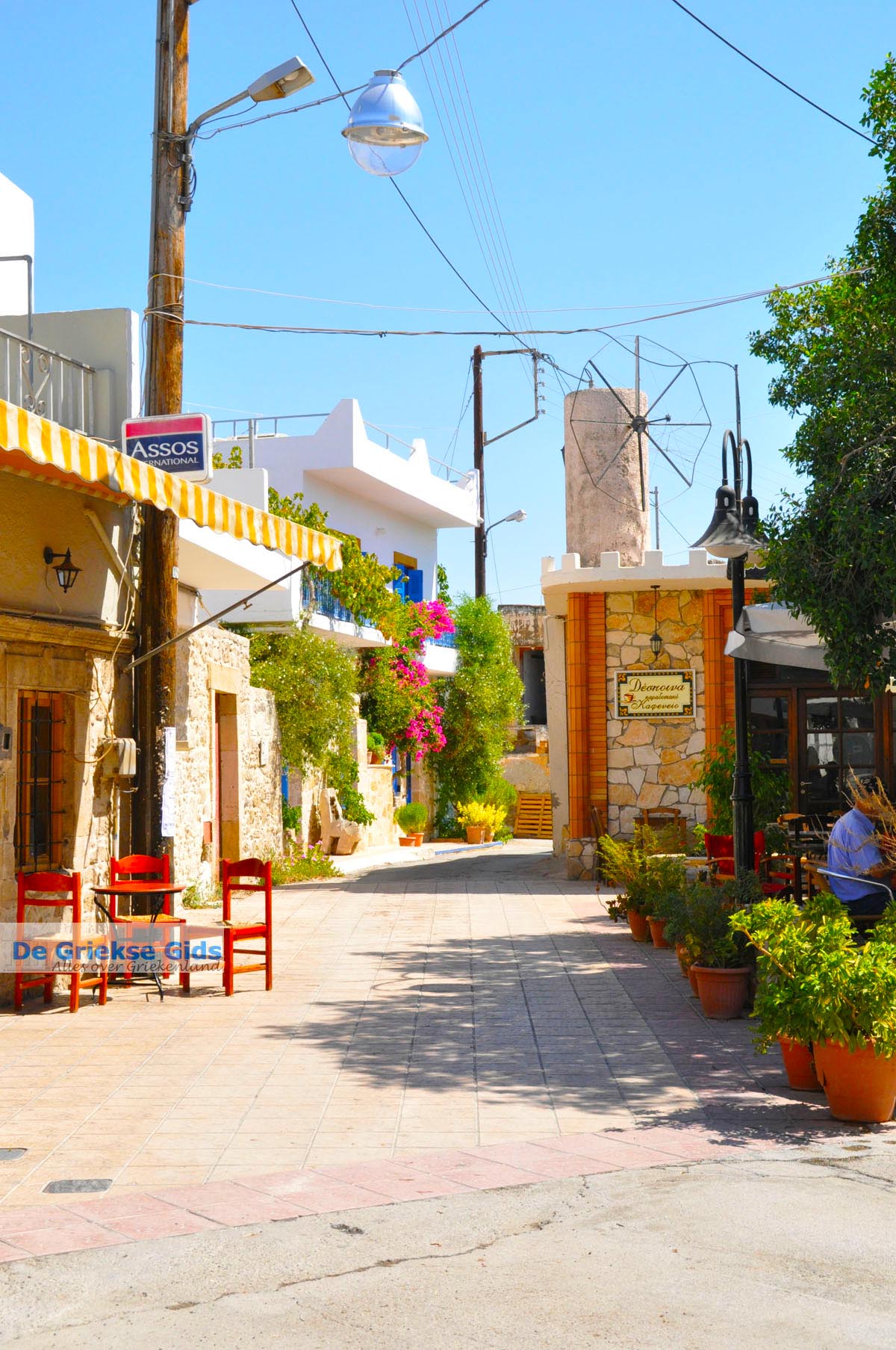
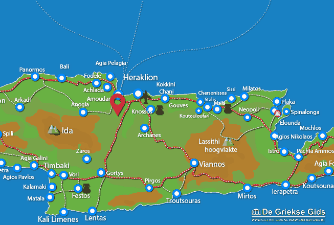
Krousonas. Krousonas is located approximately 23 kilometres southwest of Heraklion on the road Iraklion - Gazi - Krousonas. It's an old but lively village. Krousonas is built in a semi-circle on the eastern slopes of the Ida Mountains, between the hills of Livadiotis and Koupos. There are four Byzantine churches and a Monastery of Agia Irini. It is also worthwhile to visit the village Sarchos with its famous cave, a few kilometres from Krousonas. The inhabitants of Krousonas have fought a lot during the freedom struggle. In 1822 near Krousonas there was a tough battle in which 4.000 Turks were slain.
Text: Yorgos and Wendy Nikolidakis - Revised by Maxine van Hoften Gee
Photo Gallery Heraklion Prefecture - Photos of Heraklion Prefecture
more photos of Heraklion Prefecture»

Weather forecast Krousonas (Heraklion Prefecture)

20°C
21°C

26°C
29°C
23°C
23°C
Krousonas in other languages
 Krousonas (GriekseGids.nl)
 Krousonas (GriekseGids.be)
 Krousonas (GreeceGuide.co.uk)
 Krousonas (GriechenlandWeb.de)
Heraklion Prefecture: Where on the map is Krousonas located?
Heraklion Prefecture
Holidays in Greece