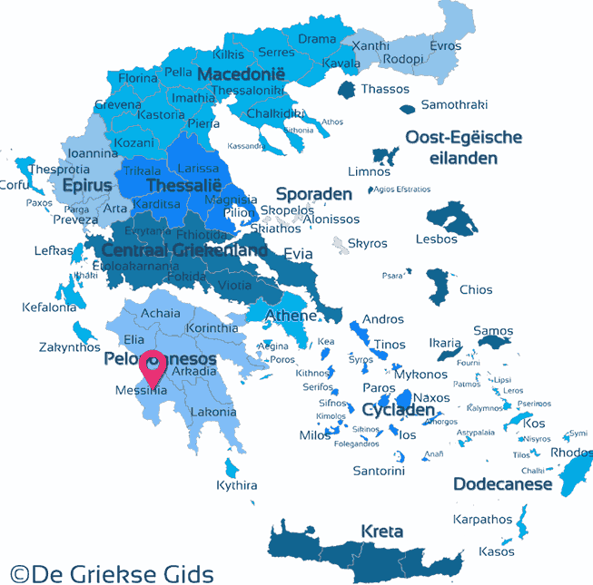
Messenia - Peloponnese (Greece)
Messenia. Messenia (Messinia) is one of the seven prefectures of the Greek peninsula Peloponnese. This department is located in the southwest of Peloponnese on the Ionian sea. It is bordered to the north with Ilia and Arcadia, to the west to Lakonia. The area of Messenia covers an area of 2991 square kilometers.
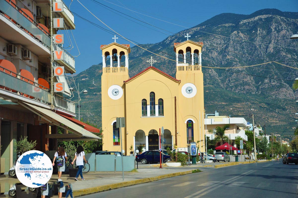
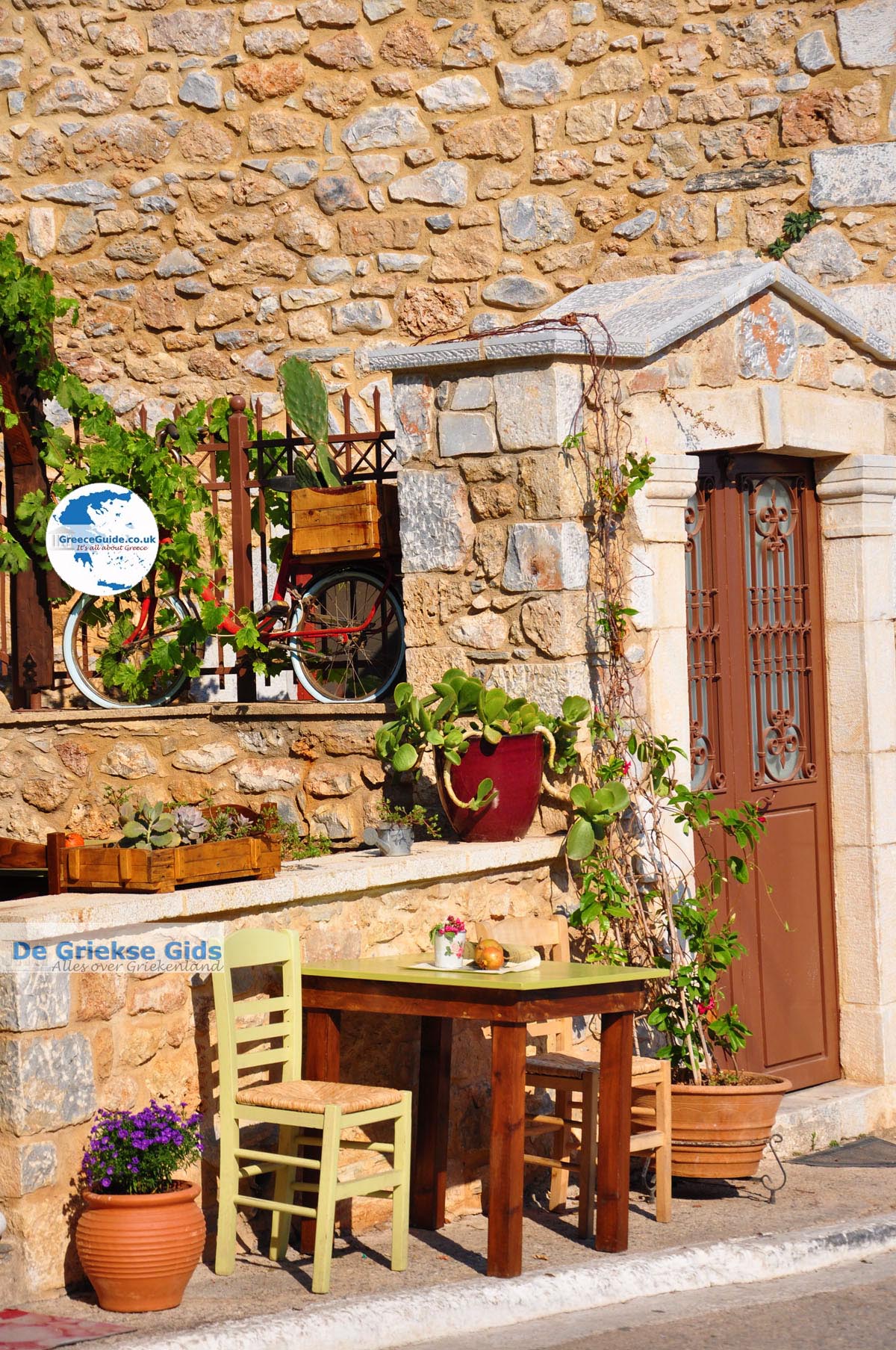
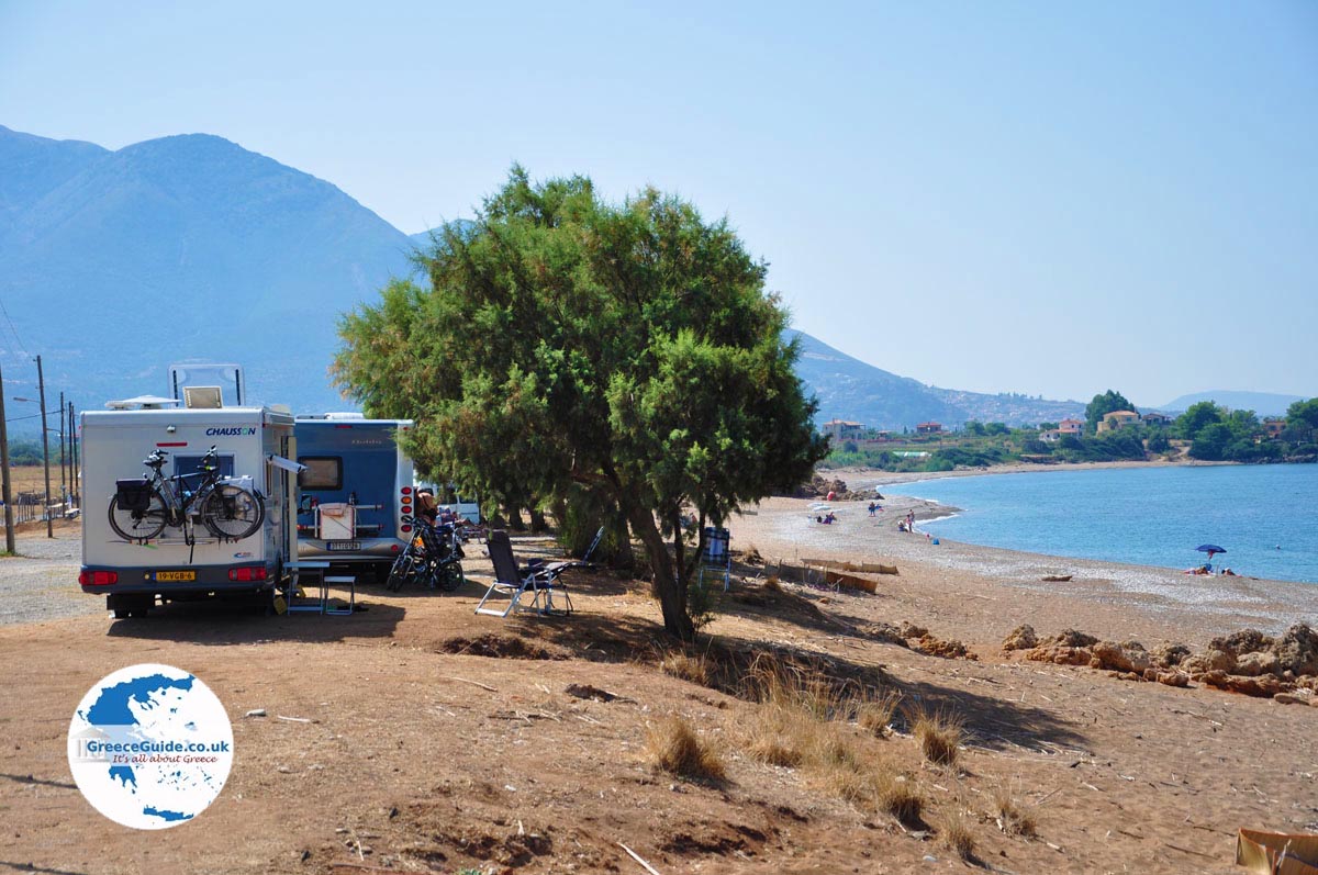
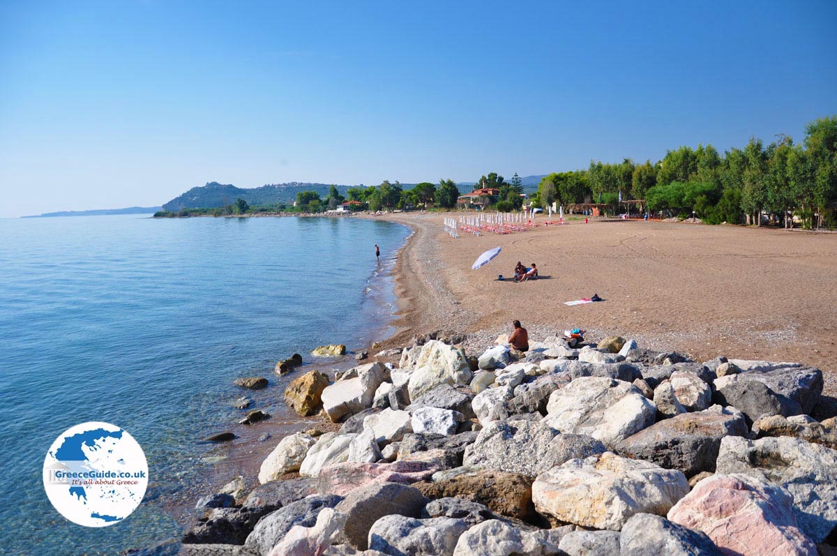
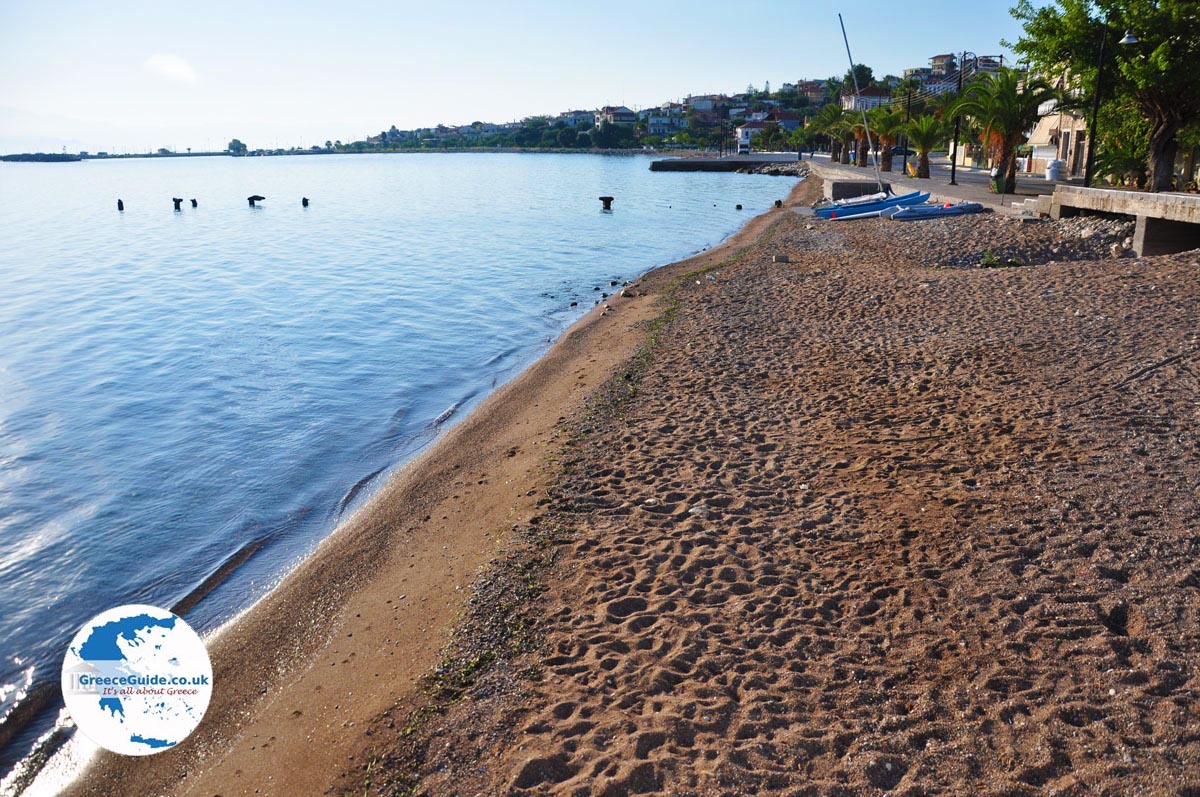
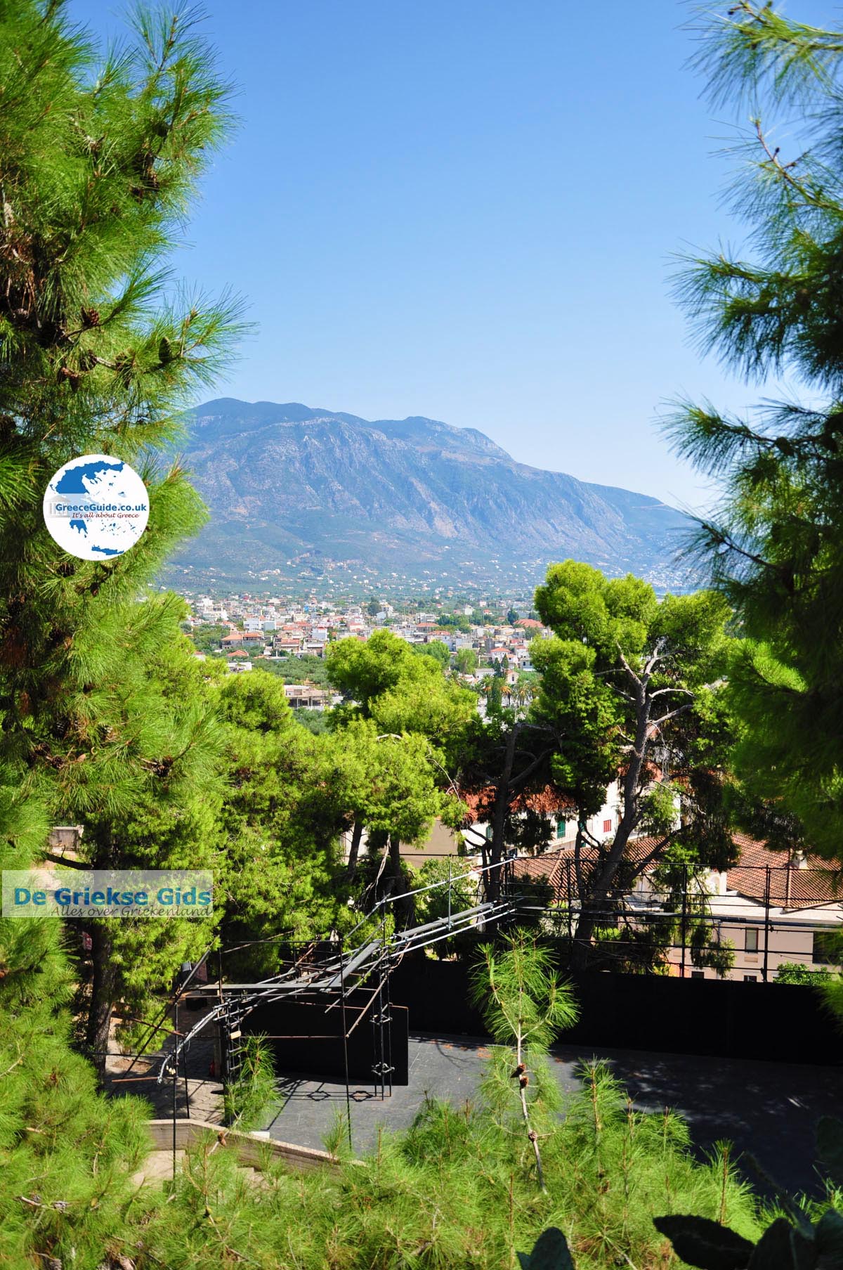
Messenia is a very fertile area with a beautiful varied nature, historic sites, plenty of running water and waterfalls, lovely seaside towns and beautiful traditional villages. The capital of Messenia is Kalamata, a vibrant city with a large port and a beautiful beach.
The highest mountain is Taygetos (highest point 2040 meters), which is at the border with the prefecture of Lakonia. On thiis area between Messenia and Laconia, are the picturesque villages of Mani, some in the mountains, others on the coast.
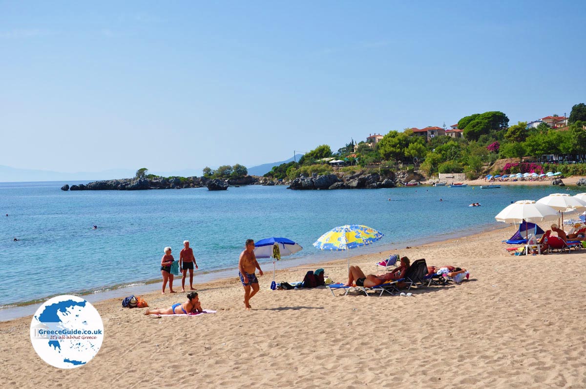
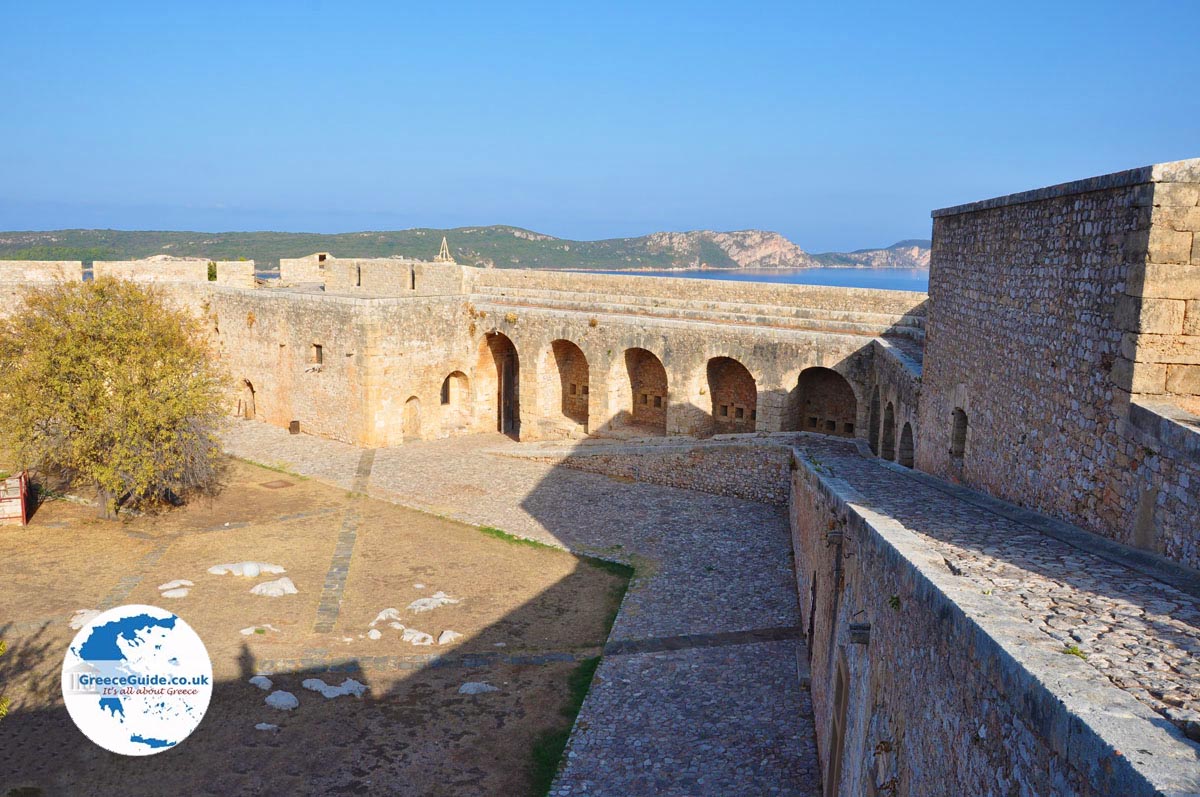
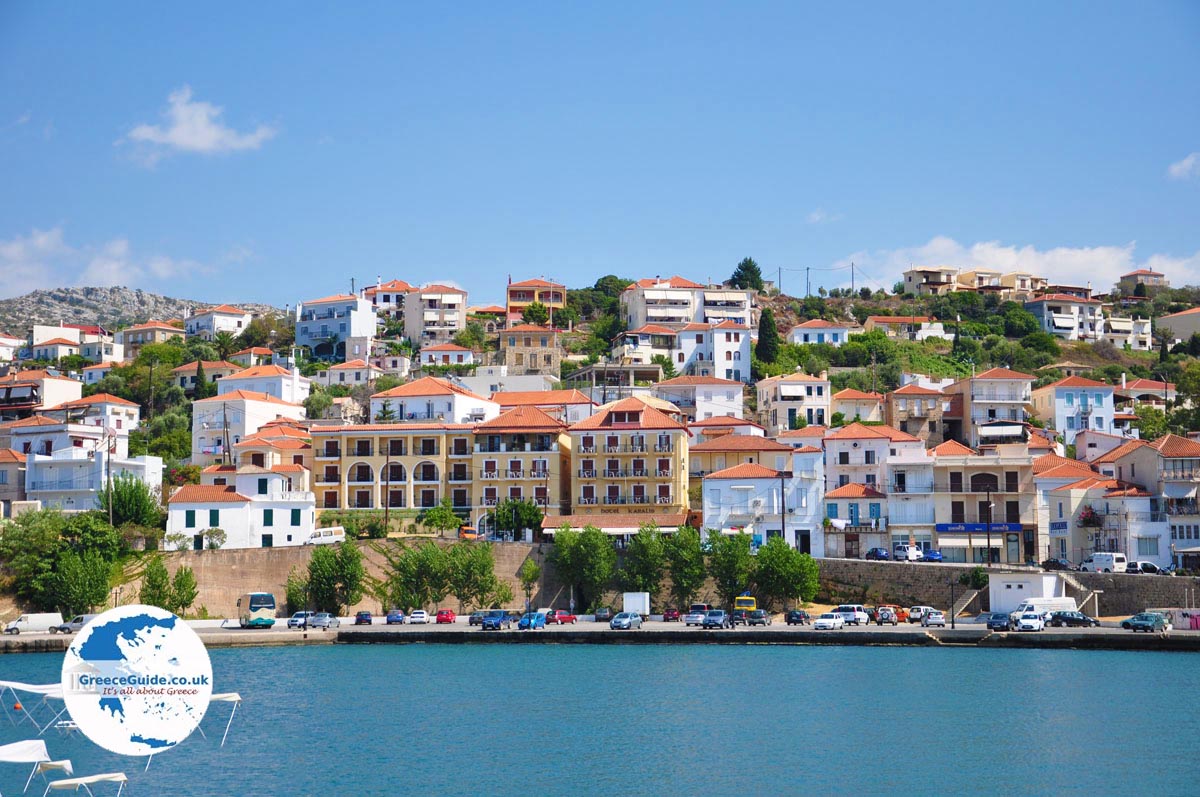
Popular seaside resorts are Stoupa, Kardamili and Aghios Nikolaos. The main attractions of the region are among the many impressive castles like that of Koroni, Methoni and Pylos. Koroni and Pylos are very popular coastal resorts as it is very cozy here. Very impressive is Pylos at the bay of Narino. Here is the popular resort of Gialova and Lake Divari.
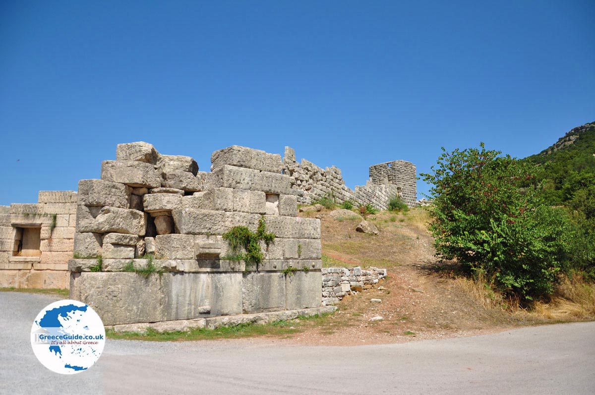
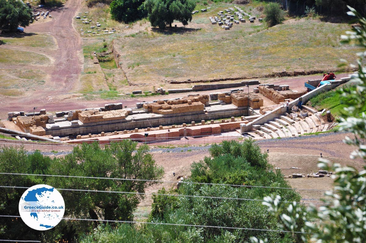
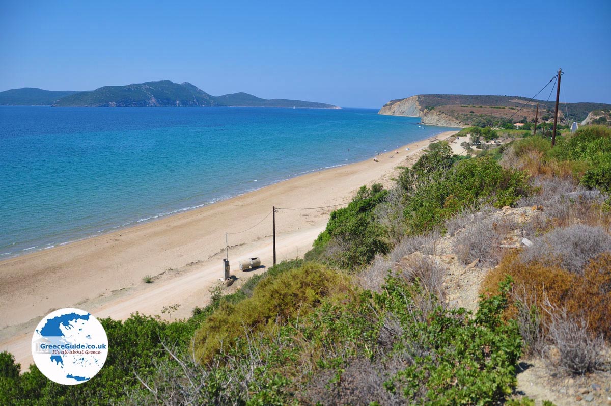
There are lots of beautiful beaches, especially on the Ionian coast like Kyparissia with several large sandy beaches. Caretta-Caretta turtles come here to lay their eggs. At the village Mavromati is the ancient Messini, one of the most important ancient cities in Greek history.
Text: Yorgos and Wendy Nikolidakis - Revised by Maxine van Hoften Gee
Photo Gallery Messenia - Photos of Peloponnese


Weather forecast Messenia
Messenia in other languages
 Messinia (GriekseGids.nl)
 Messinia (GriekseGids.be)
 Messenia (GreeceGuide.co.uk)
 Messinia (GriechenlandWeb.de)
Messenia: Where on the map is Messenia located?
Messenia
Holidays in Greece