Xanthi - Thrace (Greece)
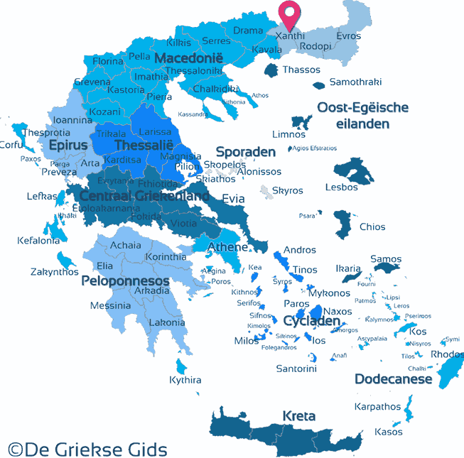
Xanthi. The prefecture of Xanthi is located in northern Greece, in the Greek district of Thrace. To the north it borders Bulgaria, in the west the prefectures Drama and Kavala, in the east the prefecture Rodopi, and in the south it reaches Aegean Sea.
The northern part of Rodopi is dominated by the Rodopi mountain range, the southern part which extends to the Aegean sea is flatter. This is called the plain of Xanthi. Main characteristic of the north are the woods and lush landscapes.
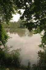
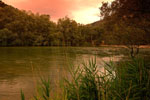
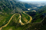
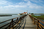
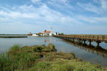
The largest river of Xanthi is Nestos who flows in from the prefecture Drama, and forms a kind of natural border between the prefectures Drama and Xanthi, it crosses the plain of Xanthi and finally flows into the Aegean Sea in the south of prefecture Kavala. Smaller rivers are the river Xanthi that passes through the town of Xanthi and the river Kompsatos. In the southeast is lake Vistonida located next to Porto Lagos. Porto Lagos is a picturesque fishing village situated on a piece of land that separates Lake Vistonida from the Aegean Sea.
The region has a rich history and a peaceful coexistence of Islamic and Greek elements and has been inhabited since ancient times. In Byzantine times the region experienced great prosperity. In its long history, tobacco production played an important role. Xanthi is the administrative and trade center of the region.
Photo Gallery Xanthi - Photos of Thrace
Sights Xanthi
- The Byzantine castle Xanthia, built in an idyllic location. Many remains of the fortress are still visible.
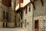
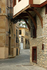
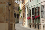
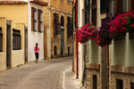
- The old town with narrow streets, traditional houses with bay windows, according to the typical architecture. Xanthi consists of charming old districts.
- The old market shops and stalls in an oriental atmosphere.
- The City Garden and the center with beautiful minarets.
- A complex of tobacco barns with their characteristic architecture.
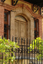
- The picturesque district of Palea Chrissa with beautiful old villas.
- Various monasteries.
- Remains of a prehistoric (late Neolithic) settlement.
- Ruins of an ancient Greco-Roman city.
- The mosque from the 15th century to Genisea.
- The traditional village named Kato Kariofito.
- Ruins of the ancient Greek city Topeiros, founded in the 1st century AD in the Roman-Byzantine period.
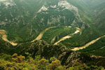
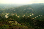
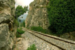
- The broad ravines of Nestos, a lovely location which runs along the train tracks.
- The folklore museum with traditional costumes, farming tools, coins, jewellery etc.
- Every Saturday there is a bazaar in Xanthi.
- The festival of Carnival, which lasts eight days, harks back to ancient Thracian times.
- The Ancient Avdira, a city with fortification walls, a harbor and sanctuaries that flourished until the Roman period.
- The Byzantine Avdira - Polystylo: a city founded in the Byzantine period on the site of the acropolis of ancient Avdira.
- The Fortress of Kaliva on the top of a mountain (340 BC), in a strategic position controlling the valley of Nestos.
- The Macedonian Tomb in Stavroupolis.
Text: Jorgos and Wendy Nikolidakis - Text edited by Katrina Butzer
Weather forecast Xanthi
Xanthi in other languages
 Xanthi (GriekseGids.nl)
 Xanthi (GriekseGids.be)
 Xanthi (GreeceGuide.co.uk)
 Xanthi (GriechenlandWeb.de)
Xanthi: Where on the map is Xanthi located?
