
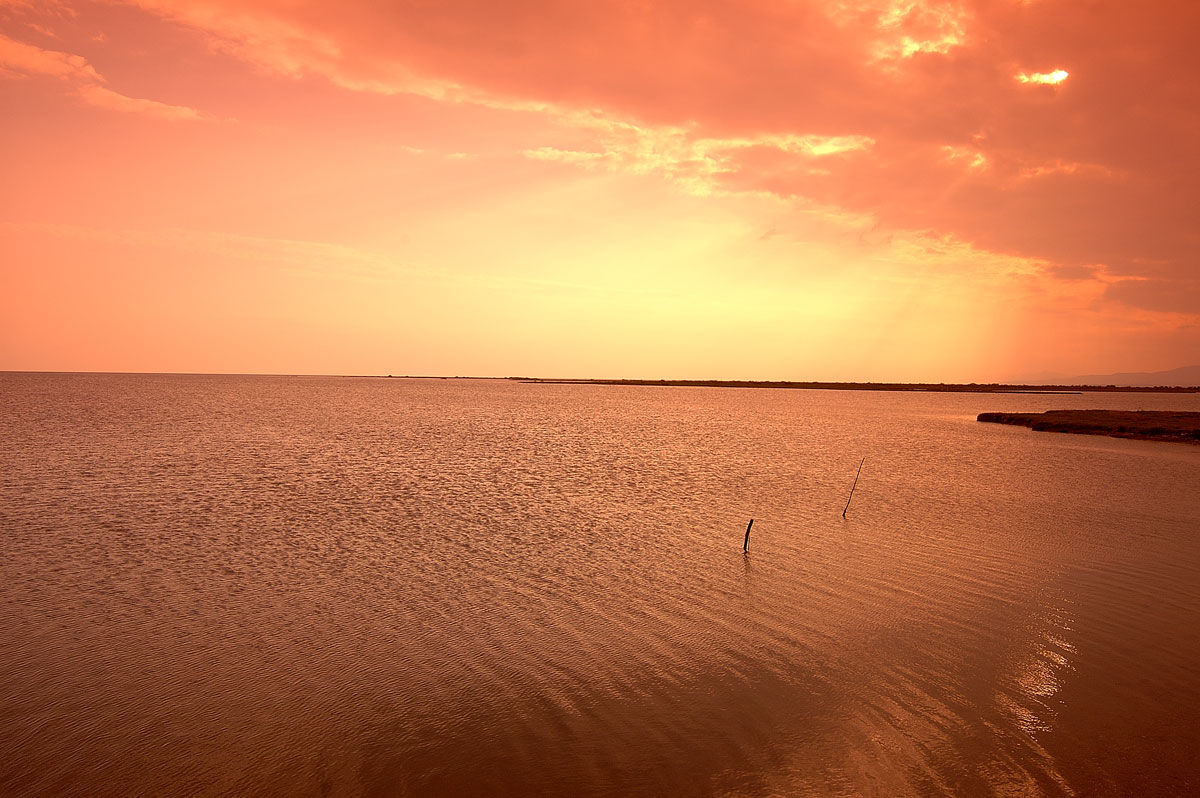
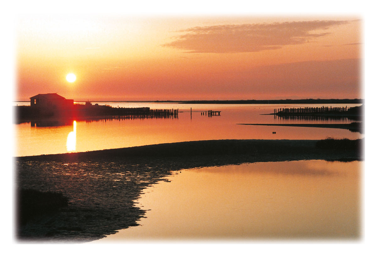
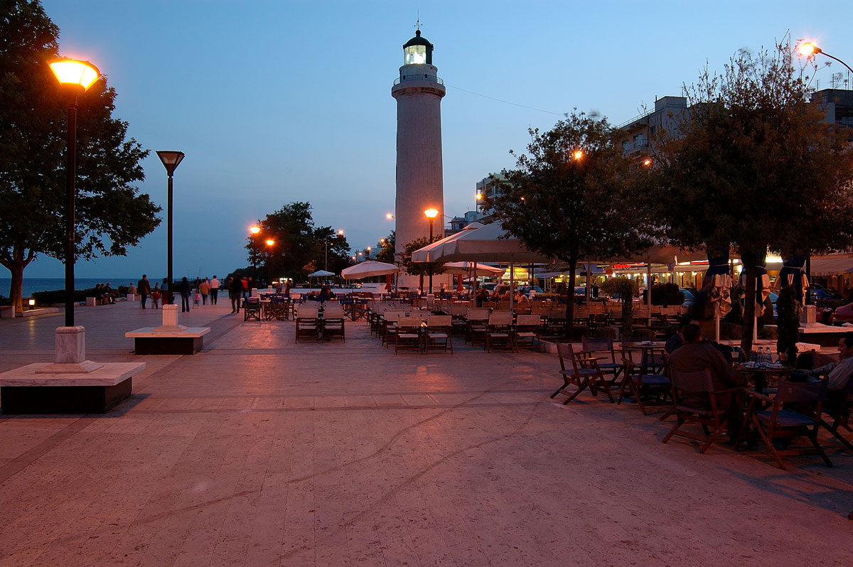
Feres - Evros (Greece)
Feres. Feres is a town in the prefecture of Evros, in the far north-eastern Greece, 28 kilometers (17 miles) from Alexandroupolis and six kilometers (4 miles) west of the river Evros. About 6,000 people live in Feres. Most are engaged in agriculture stockbreeding. The city is built around the fortified monastery of Panagia Kosmotira which was founded by Byzantine Emperor Isaac Komninos in the 12th century.


Left: Panagia Kosmptira church - Right: village Ardanion at Feres
Photos: Kostas Natsidis
During this period the whole area was called Viros (areas with marsh and water). The city that was originally built here around the monastery, was given the name Vira. Over the centuries, it fell into the hands of the Crusaders, again the Byzantines and then the Ottomans. In the 15th century it was renamed Ferai (Feres). Since 1919, Feres has belonged to Greece again. In 1923 thousands of Greek refugees from Asia Minor came to settle here.
Text: Jorgos and Wendy Nikolidakis - Text edited by Katrina Butzer
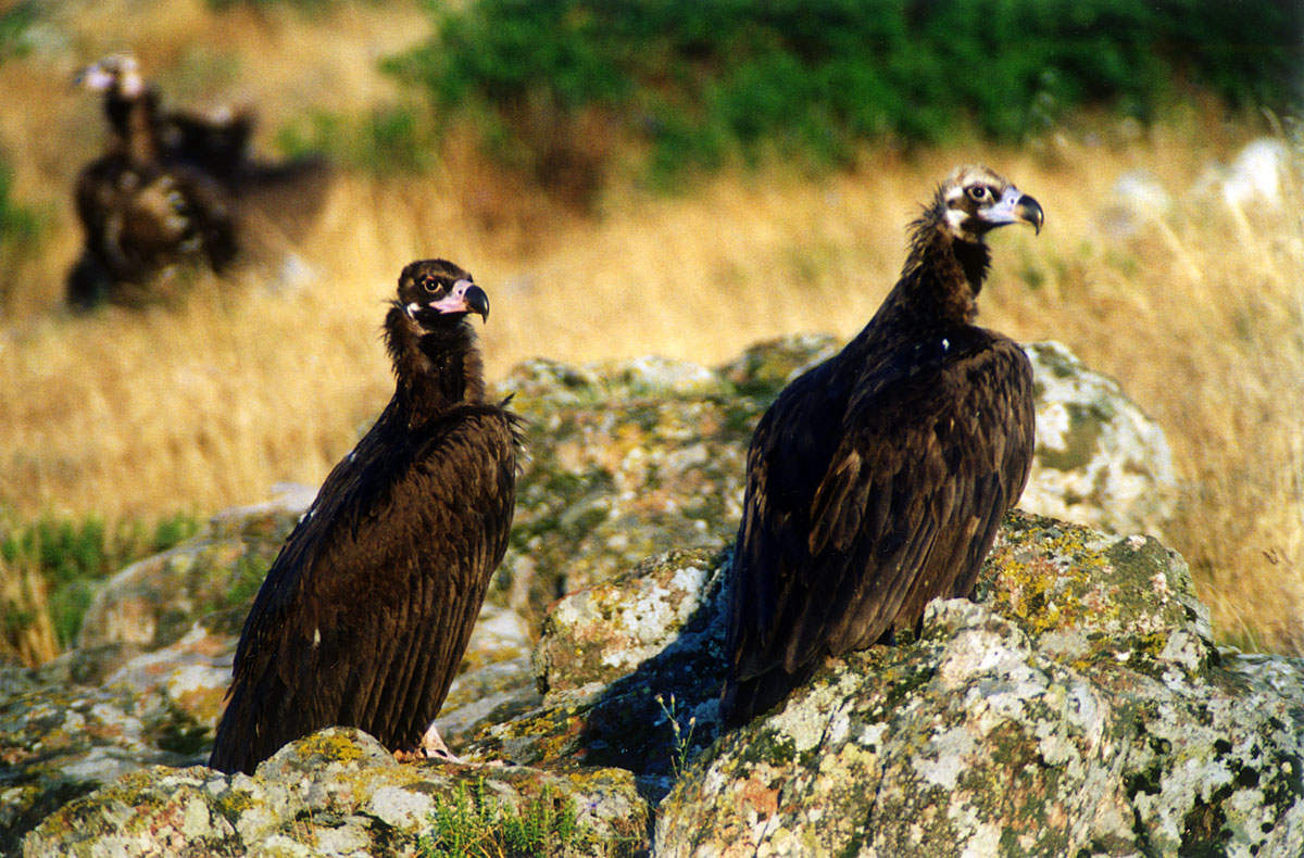
Photo Gallery Evros - Photos of Evros

Weather forecast Feres (Evros)
Feres in other languages
 Feres (GriekseGids.nl)
 Feres (GriekseGids.be)
 Feres (GreeceGuide.co.uk)
 Feres (GriechenlandWeb.de)
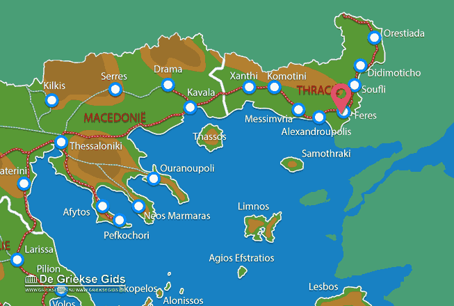
Evros: Where on the map is Feres located?
Holidays in Greece